STREET / EL SEGUNDO
El Segundo Boulevard
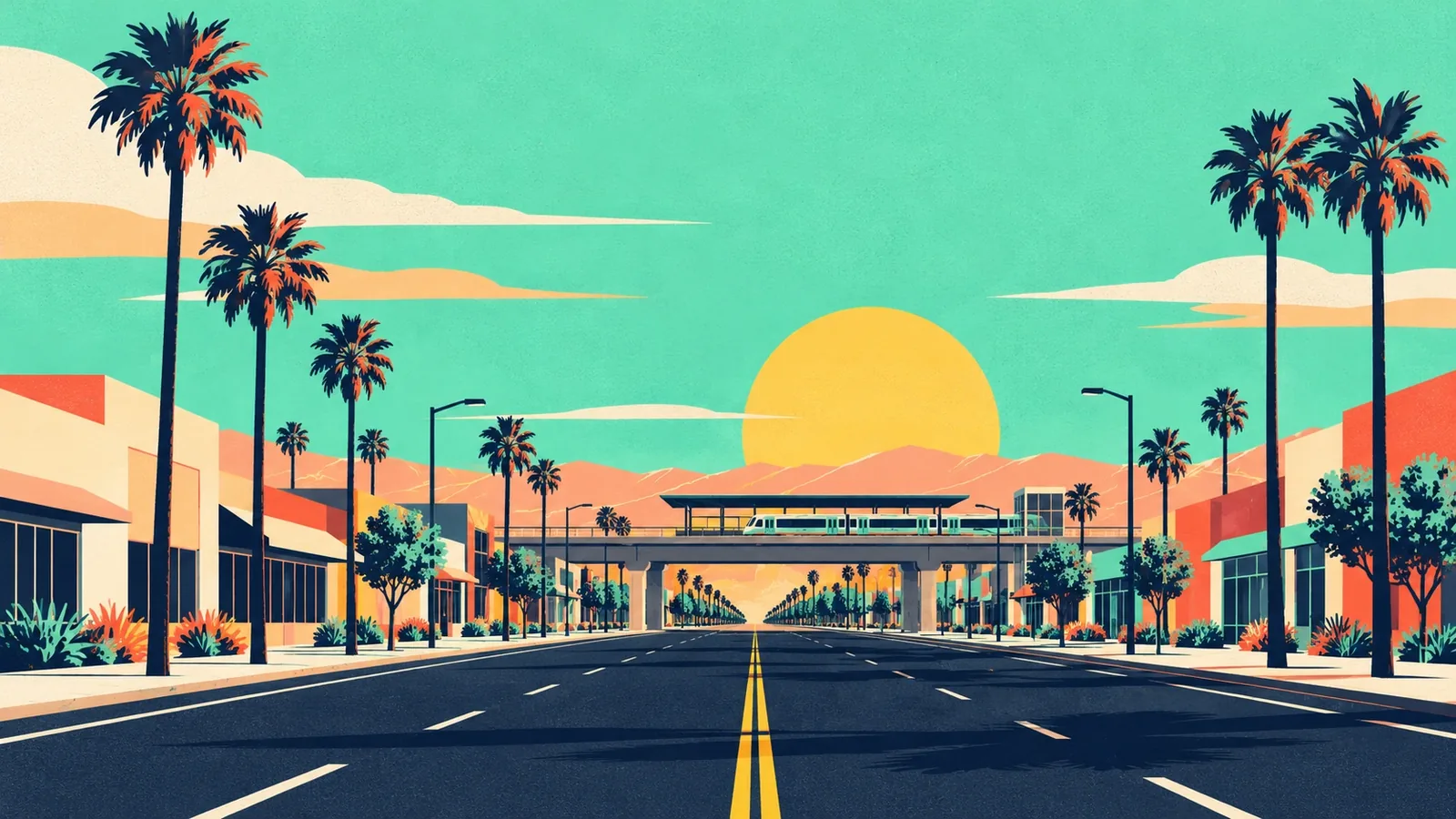
A main east-west road through the city and the south edge of downtown. It took its current name in 1931, merging what had been Ballona Avenue and 128th Street, and its eastern stretch passes the El Segundo Metro station and Los Angeles Air Force Base.
- Type
- Street
- Where
- El Segundo Blvd, running east from downtown El Segundo past Aviation Blvd
What the sources say
Each line links the public source it comes from.
- Naming: Formerly Ballona Avenue (El Segundo and Hawthorne) and 128th Street (Los Angeles); both renamed El Segundo Boulevard in 1931 lastreetnames.com
- Downtown: Forms the southern end of the Main Street downtown plan area urbanize.la
- Metro: El Segundo station sits over El Segundo Boulevard near Nash Street en.wikipedia.org
- Air Force base: Los Angeles Air Force Base is at the northwest corner of Aviation and El Segundo Boulevards en.wikipedia.org
Mapped along El Segundo Boulevard
3 businesses with this street name in the OpenStreetMap snapshot. The whole street, not only this stretch.
Sources and checks
Sources checked October 29, 2026.
- El Segundo Boulevard - LA Street Names
- El Segundo to revamp zoning rules for its downtown - Urbanize LA
- El Segundo station - Wikipedia
- Los Angeles Air Force Base - Wikipedia
See something out of date? Send a correction →
Not an official City of El Segundo page. Hours, prices and access stay with the place itself.